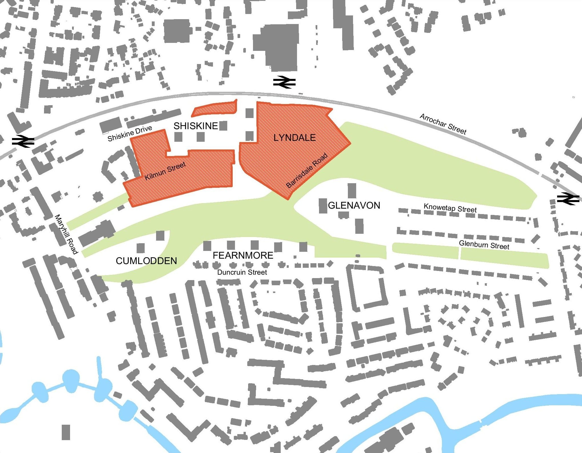
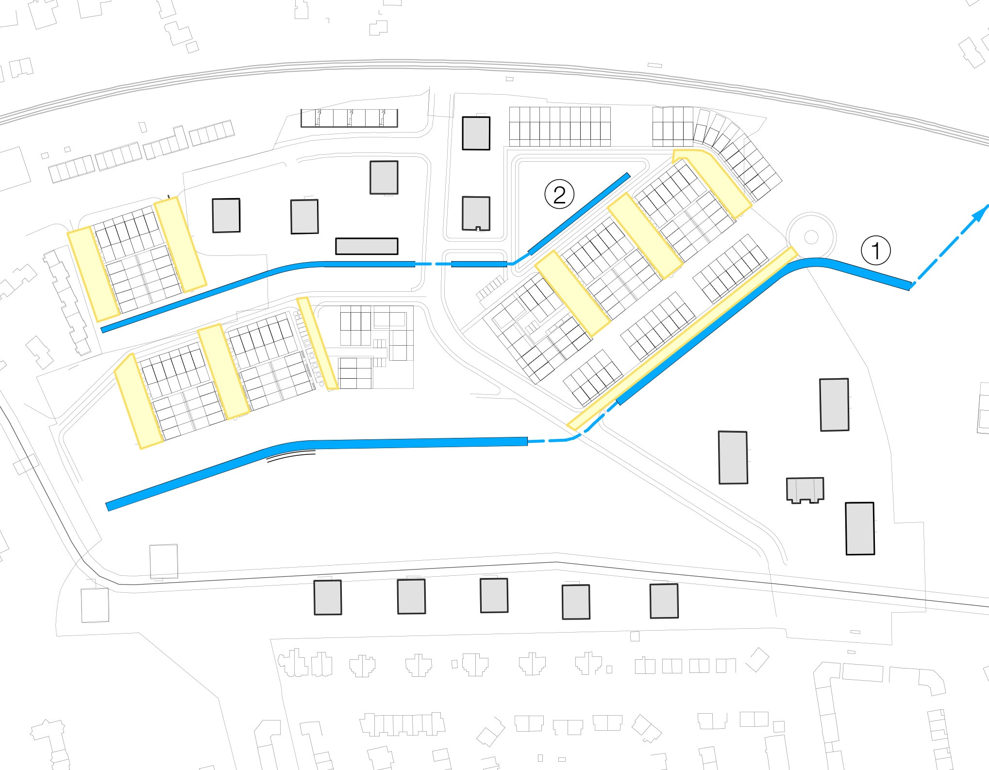
About the neighbourhood
Historical Plans
Click the arrows or use the buttons below to view each image
-
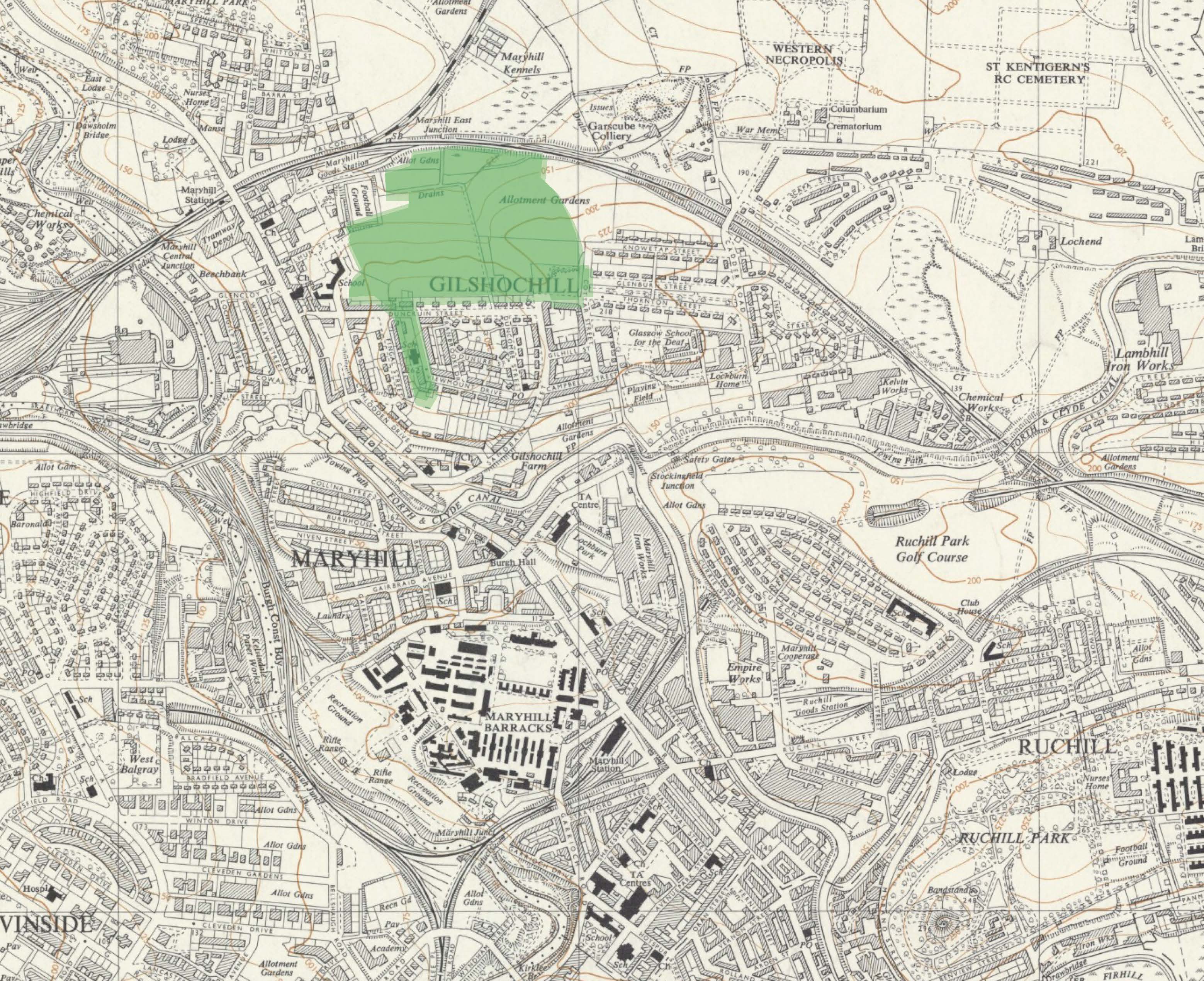
Maryhill in 1899
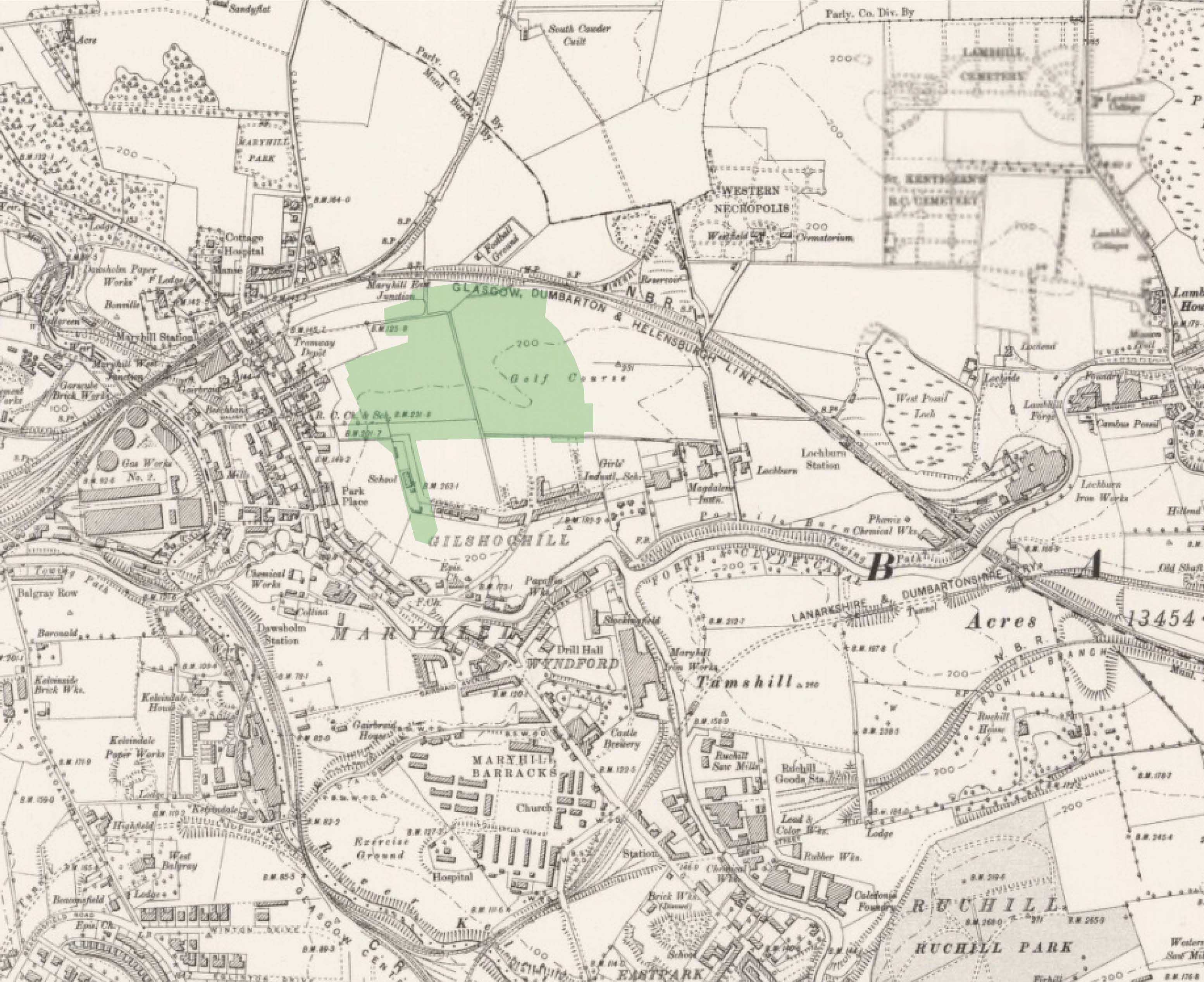 A review of the process of change over the past 120 years highlights that:
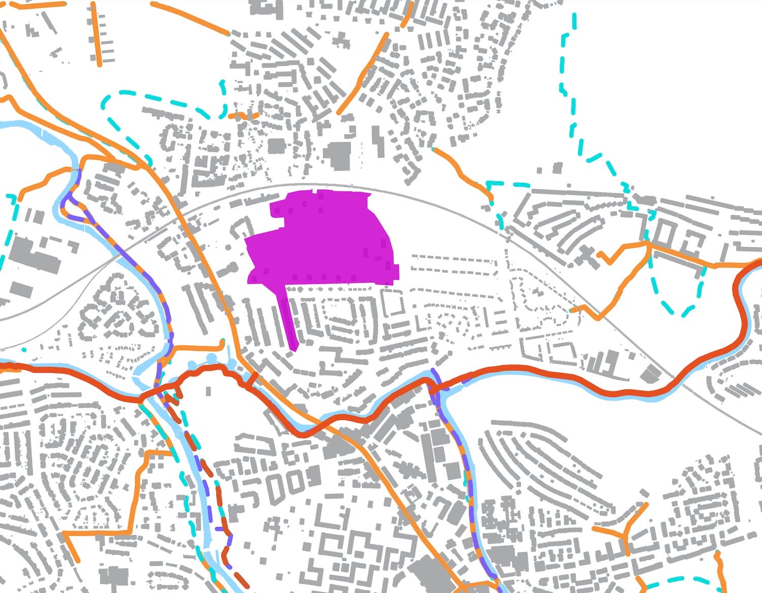
- The site has historically provided a number of greenspace uses including an allotment and golf course.
- The site remained relatively underdeveloped up until the ‘high-rise’ and ‘mini-multi’ housing were built in the 1970s.
- The terraced housing in the core of the site was demolished in the early 2000s.
-
Maryhill in 1920
 No development or greenspace is noted on the 1920 Ordnance Survey (OS) plan and the golf course may have been removed.
 -
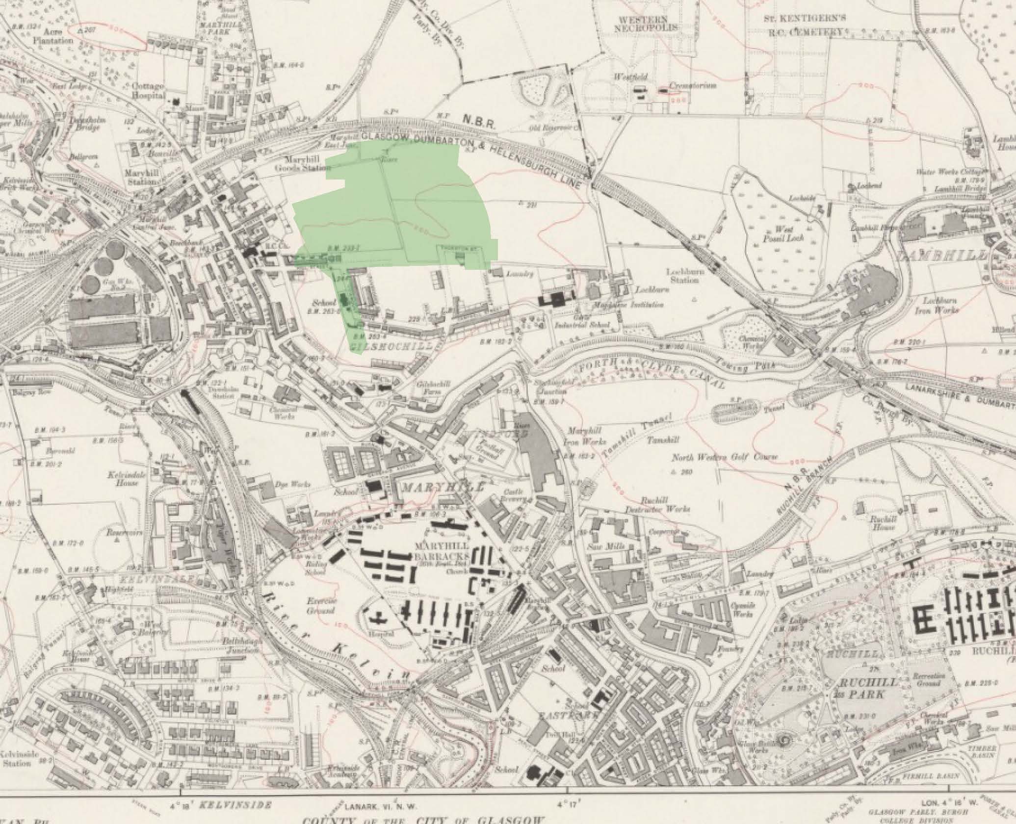
Maryhill in 1956
 The areas surrounding the site have largely been developed. The site remains as green / open space and the golf course has been replaced by allotment gardens.
 -
Maryhill in 1968
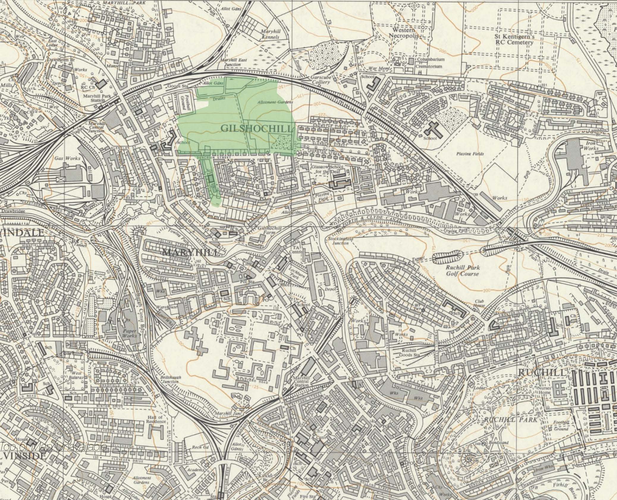 The most current OS map available is 1968. The site remains largely undeveloped.
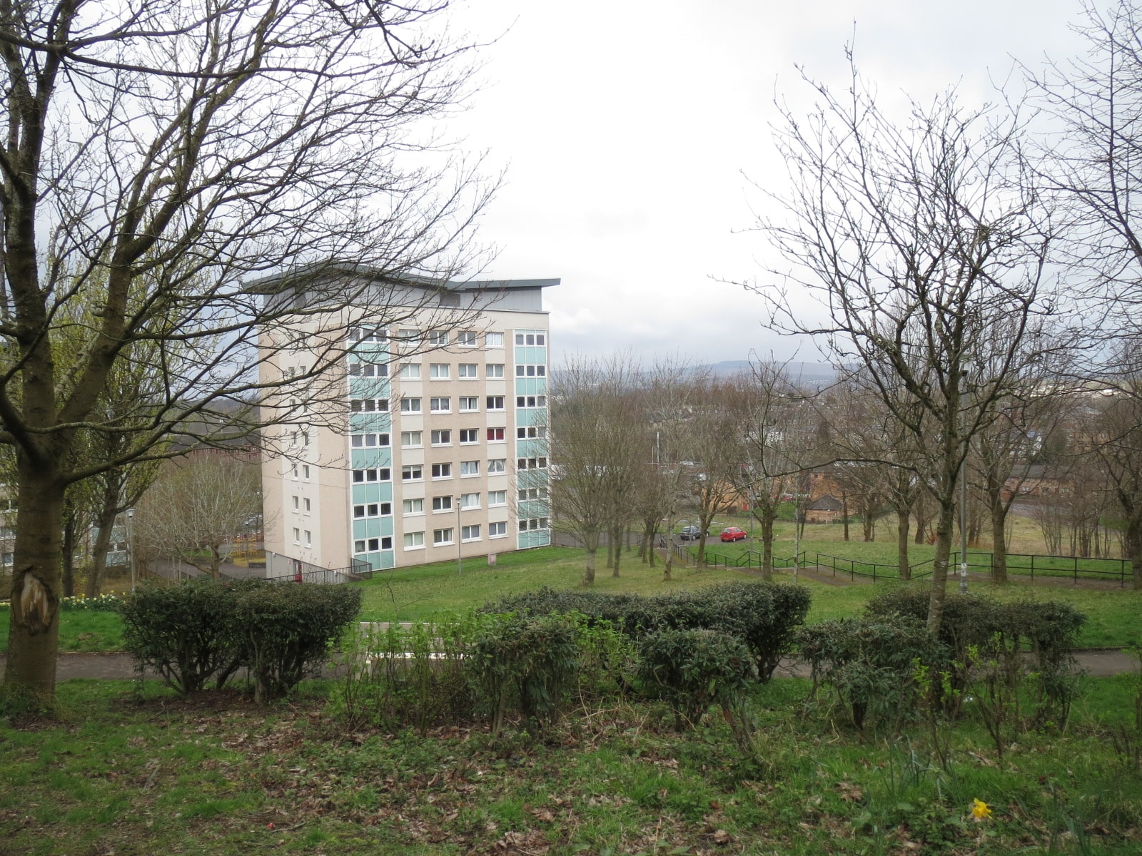
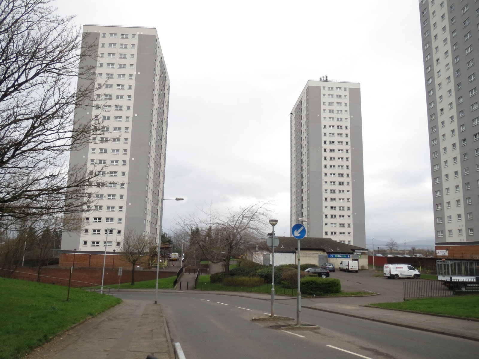
Maryhill North Today
Click the arrows or use the buttons below to view each image
-
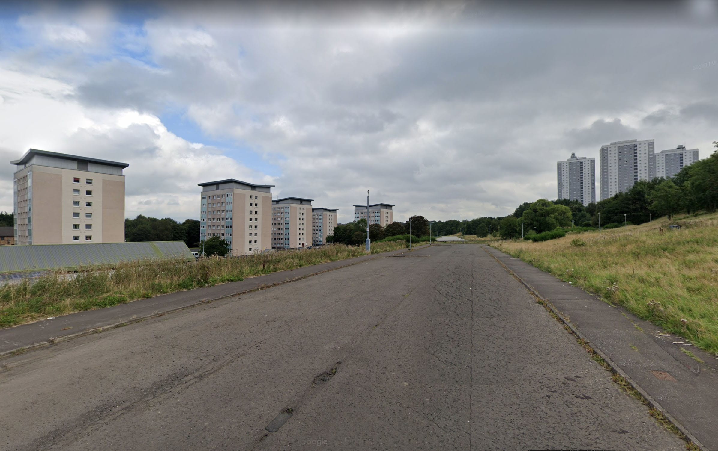
Fernmore Housing, view south
-
Glenavon housing view north from Sandbank Street
-
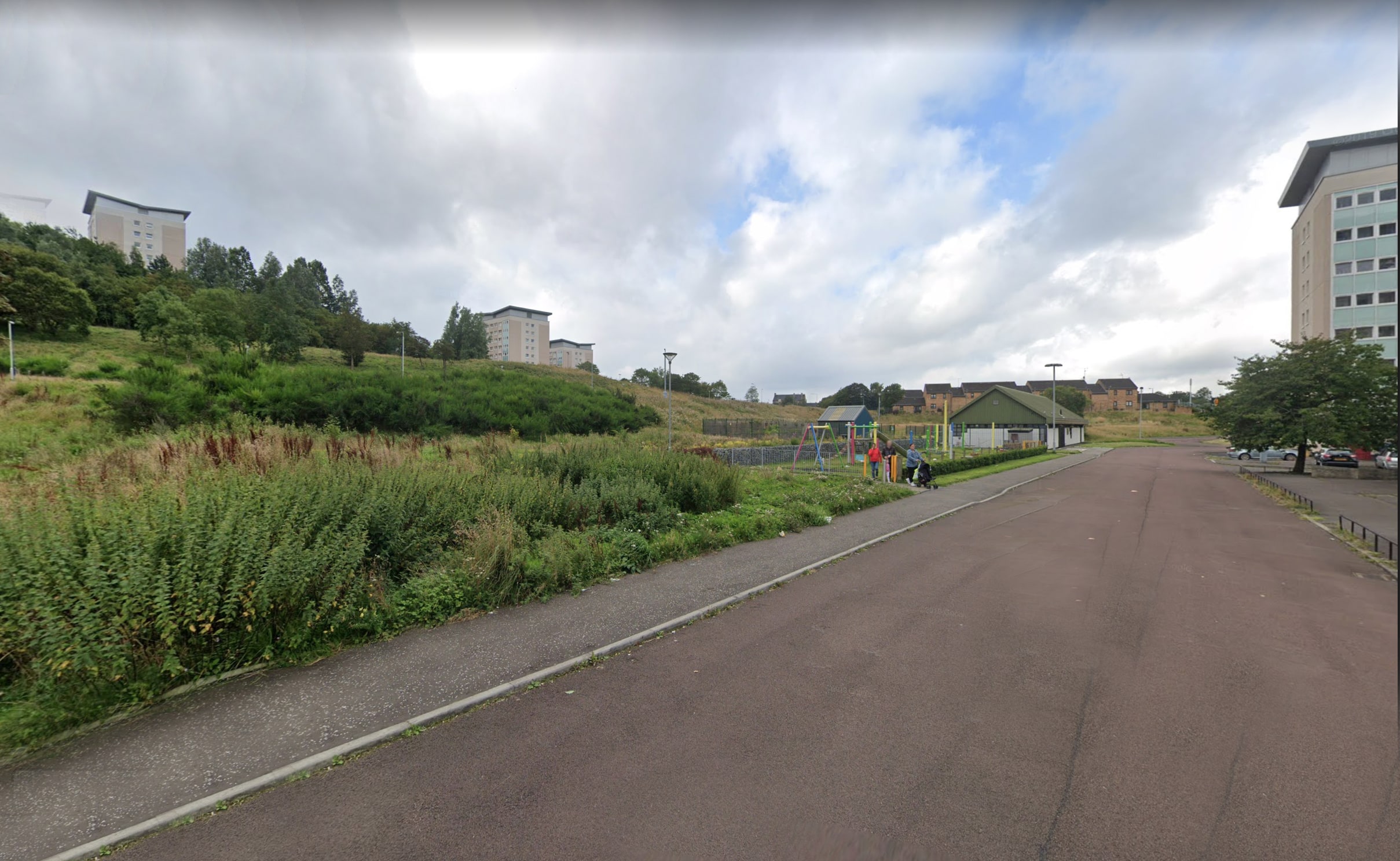
Kilmun Street looking east
-
Ledgowan Place looking south west
-
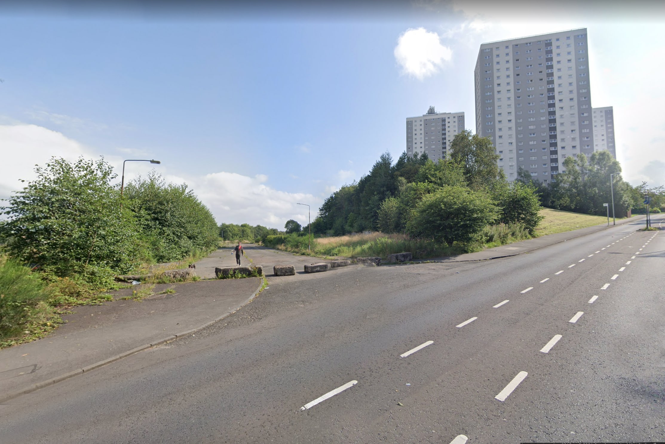
Sandbank Road looking east onto Barrisdale Road
Analysis Diagrams
Click the arrows or use the buttons below to view each image
-
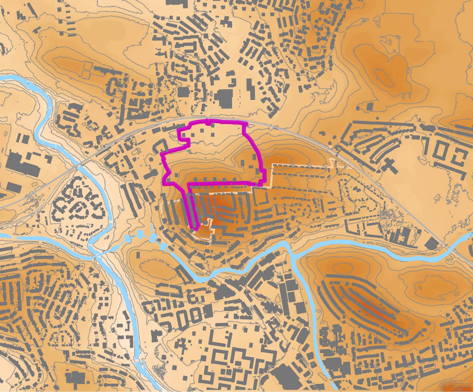
Different height levels and hills across the area
DRAG THIS AROUND OR RESIZE IT TO HELP YOU SEE

High 81 metres
Low 17 metres
Site

Water
Much of the site is steeply sloping, as it sits on the North side of a local highpoint (Gilshochill). Low lying ground in the Northern portion of the site is at an increased risk of surface water flooding. -
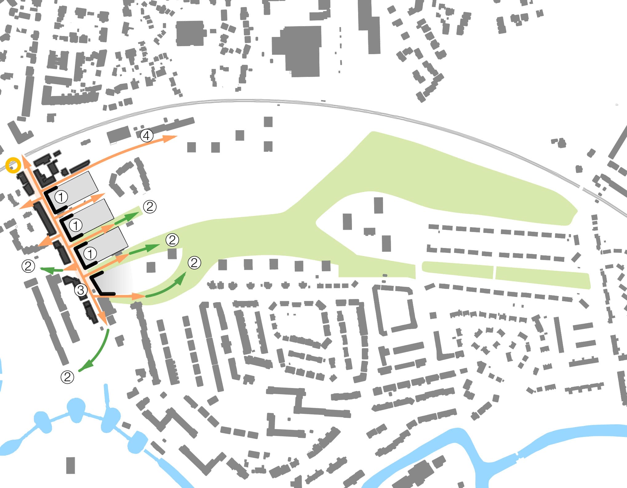
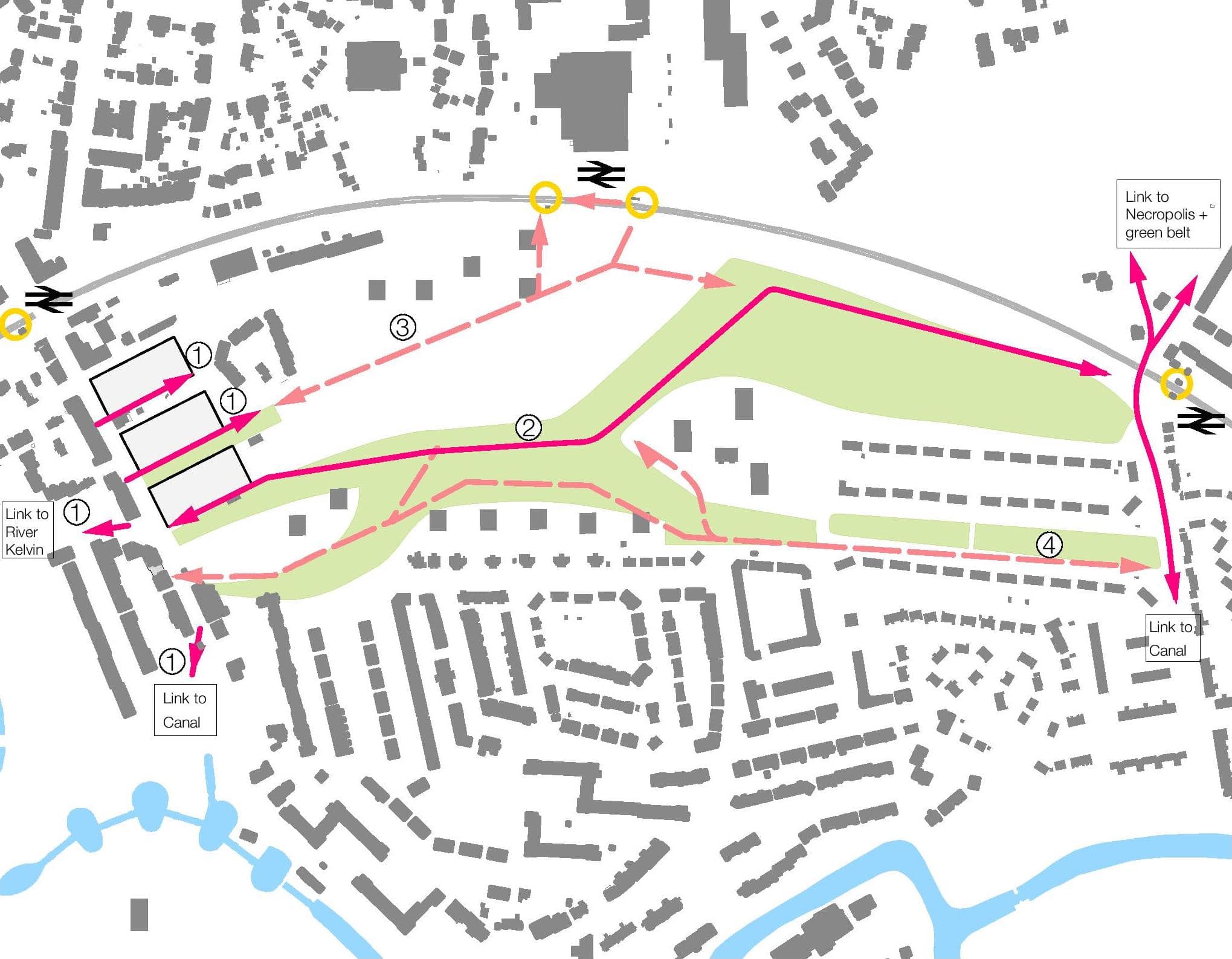
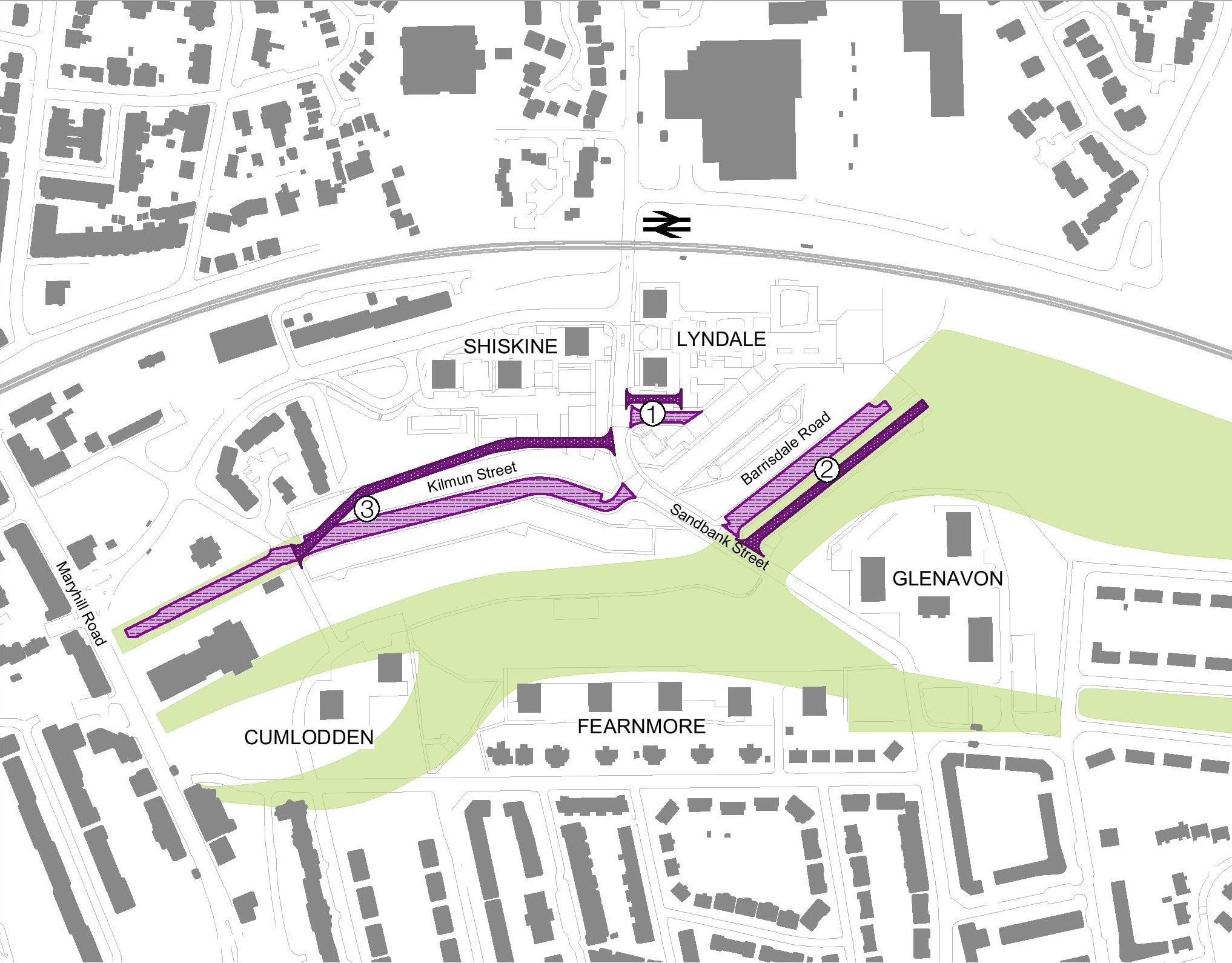
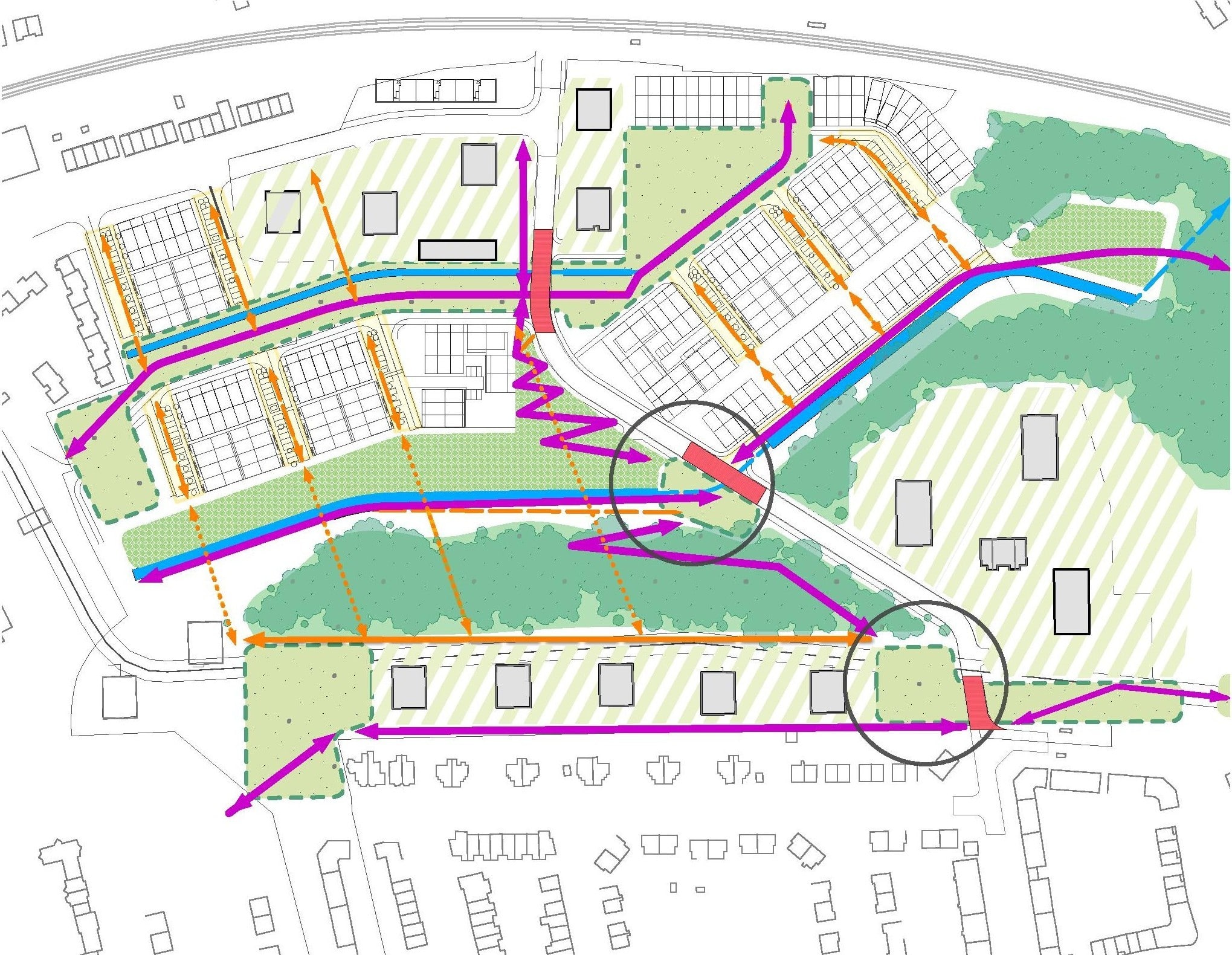
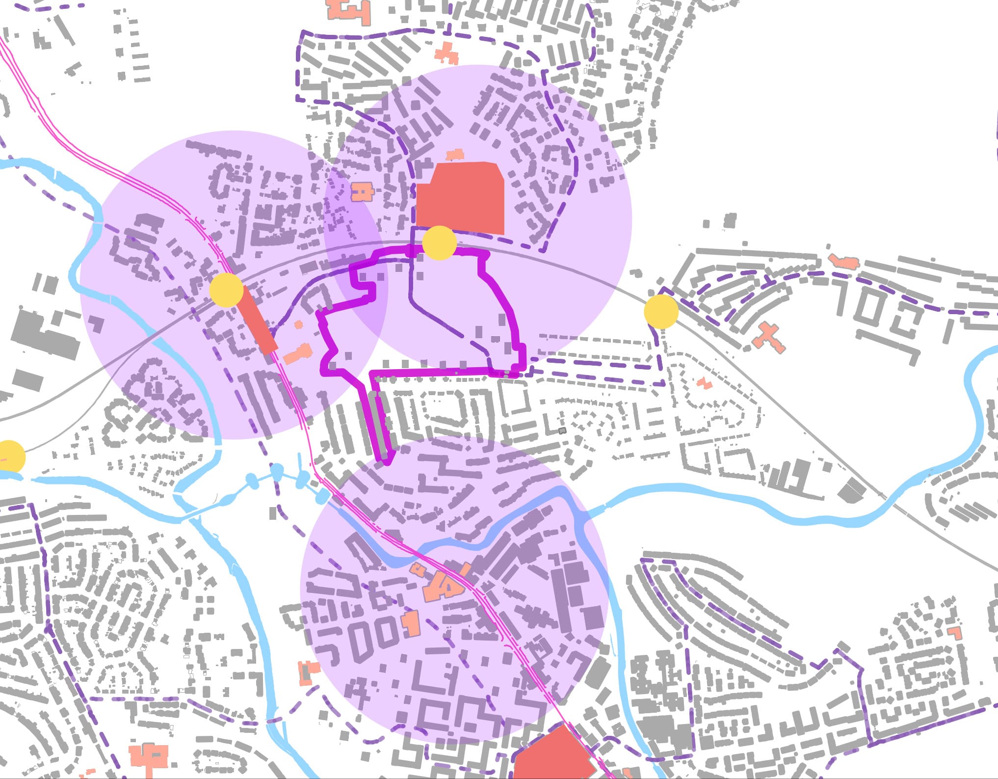
Transport Routes and Community Facilities
DRAG THIS AROUND OR RESIZE IT TO HELP YOU SEE

Site

Water

Maryhill Road

Bus Routes

Railway Stations

5 min Walking Distance

Retail

Community Facilities
There are three local community/ retail centres in close proximity to the site: Maryhill Road (focused around the train station), Maryhill Road to the south (town hall and leisure centre) and the retail park at Summerston. -
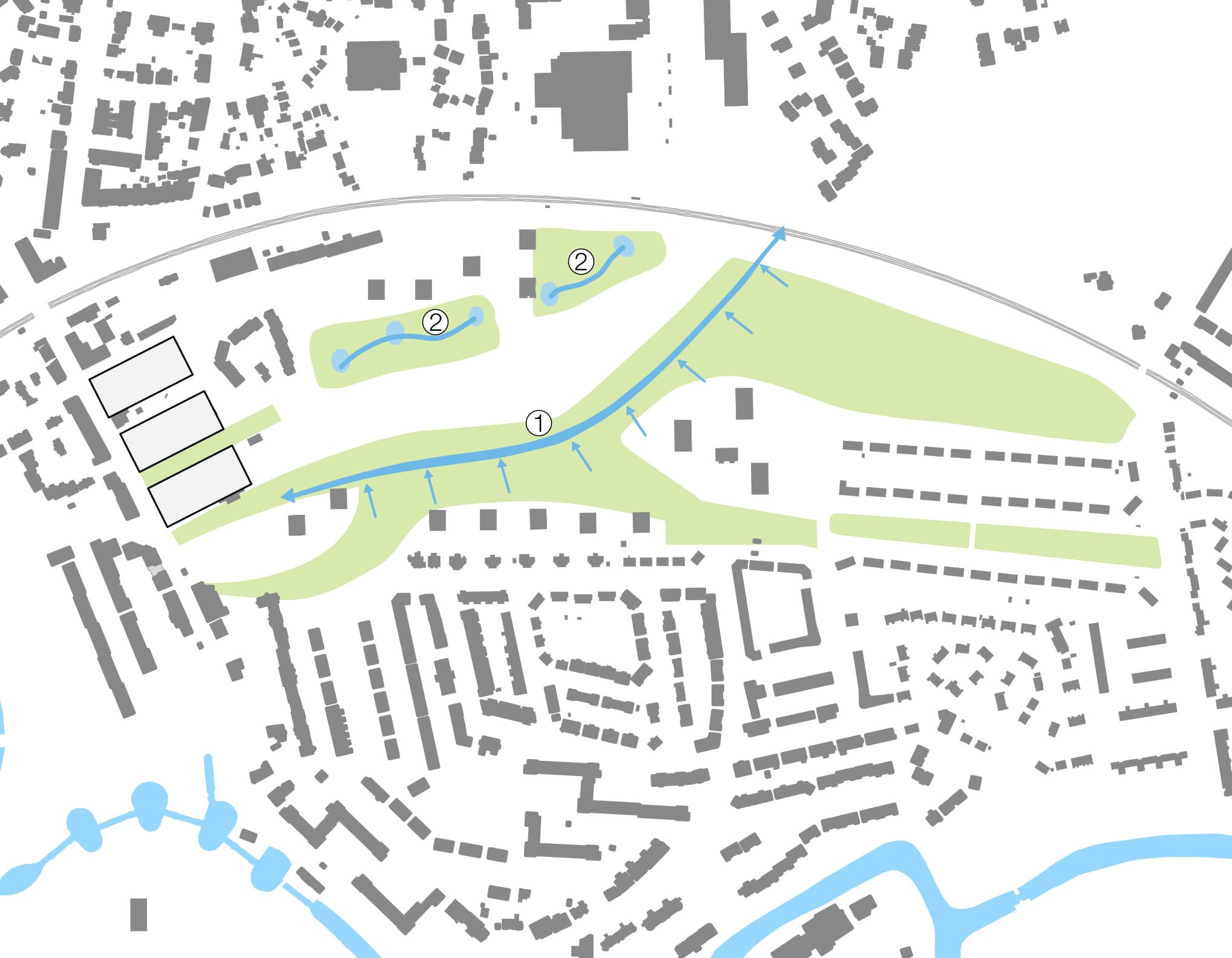
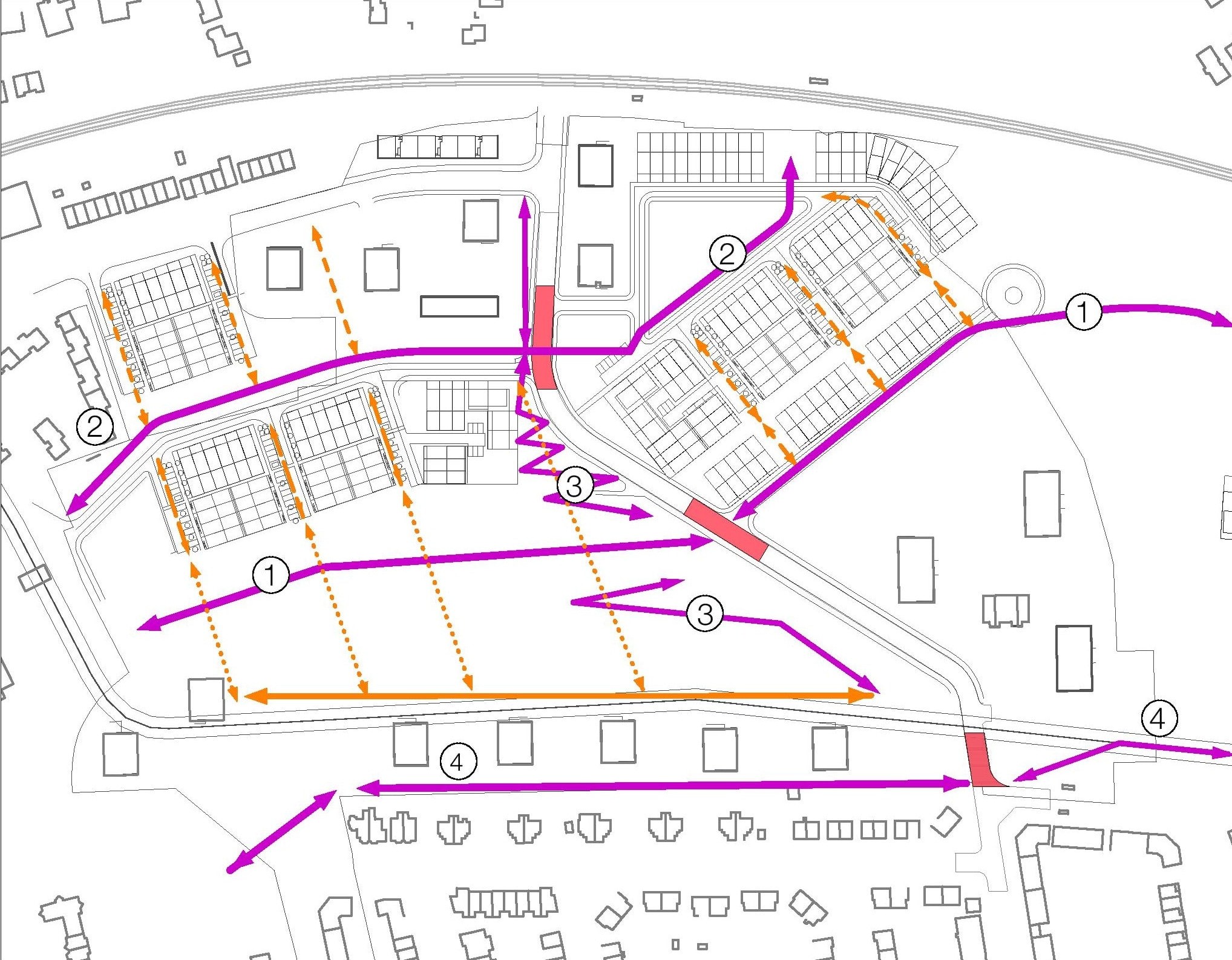
Walking and cycling routes
DRAG THIS AROUND OR RESIZE IT TO HELP YOU SEE

Site

Water

River / Canal Paths

Adopted Core Paths

Cycle Paths

National Cycle Network Route 754 Forth and Clyde Canals

National Cycle Network Route 756 East Kilbride to Kelvindale
Whilst a number of long distance walking and cycling routes are close by and the site is strategically well located in terms of the wider walking and cycling network, it is locally disconnected from these routes. -
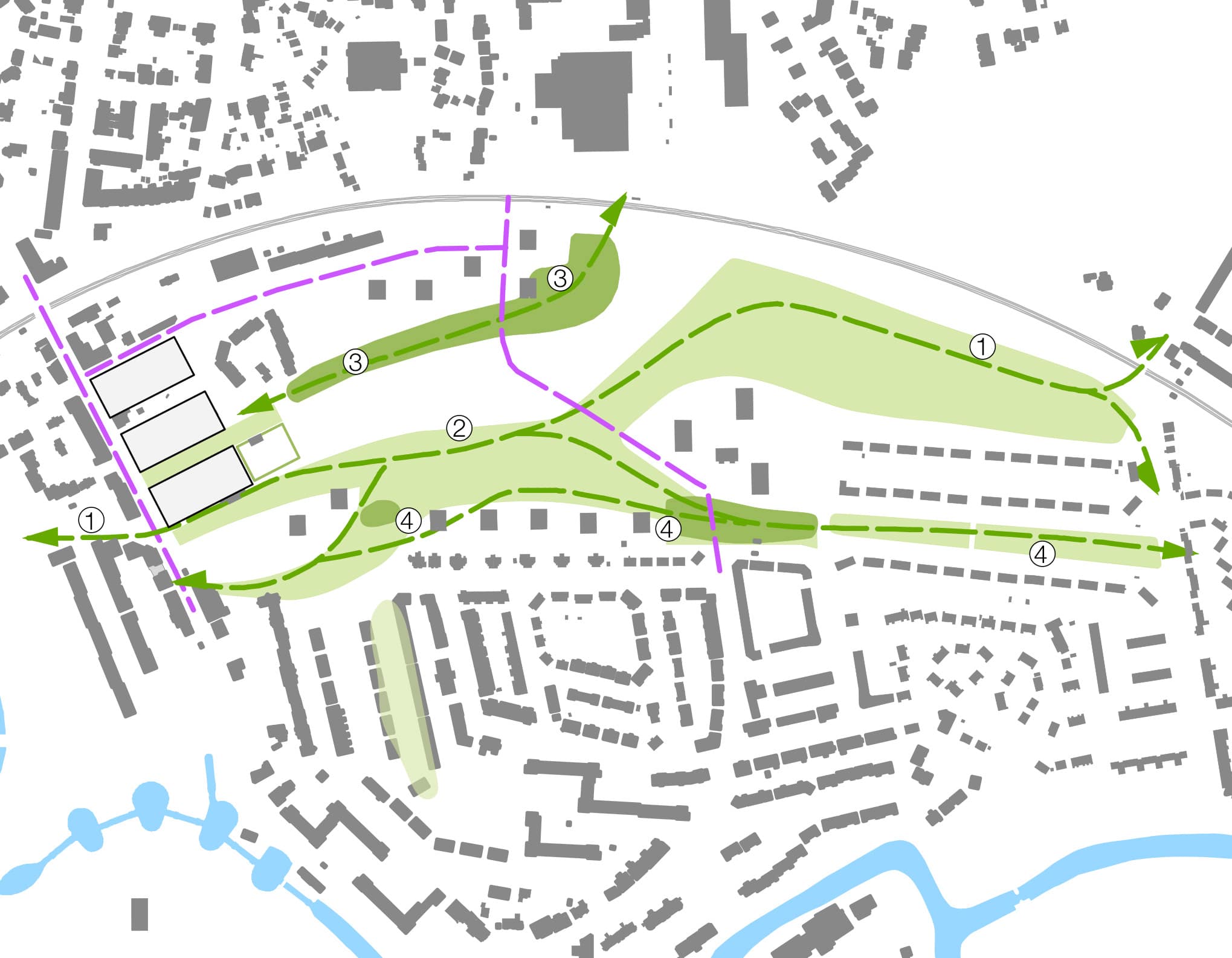
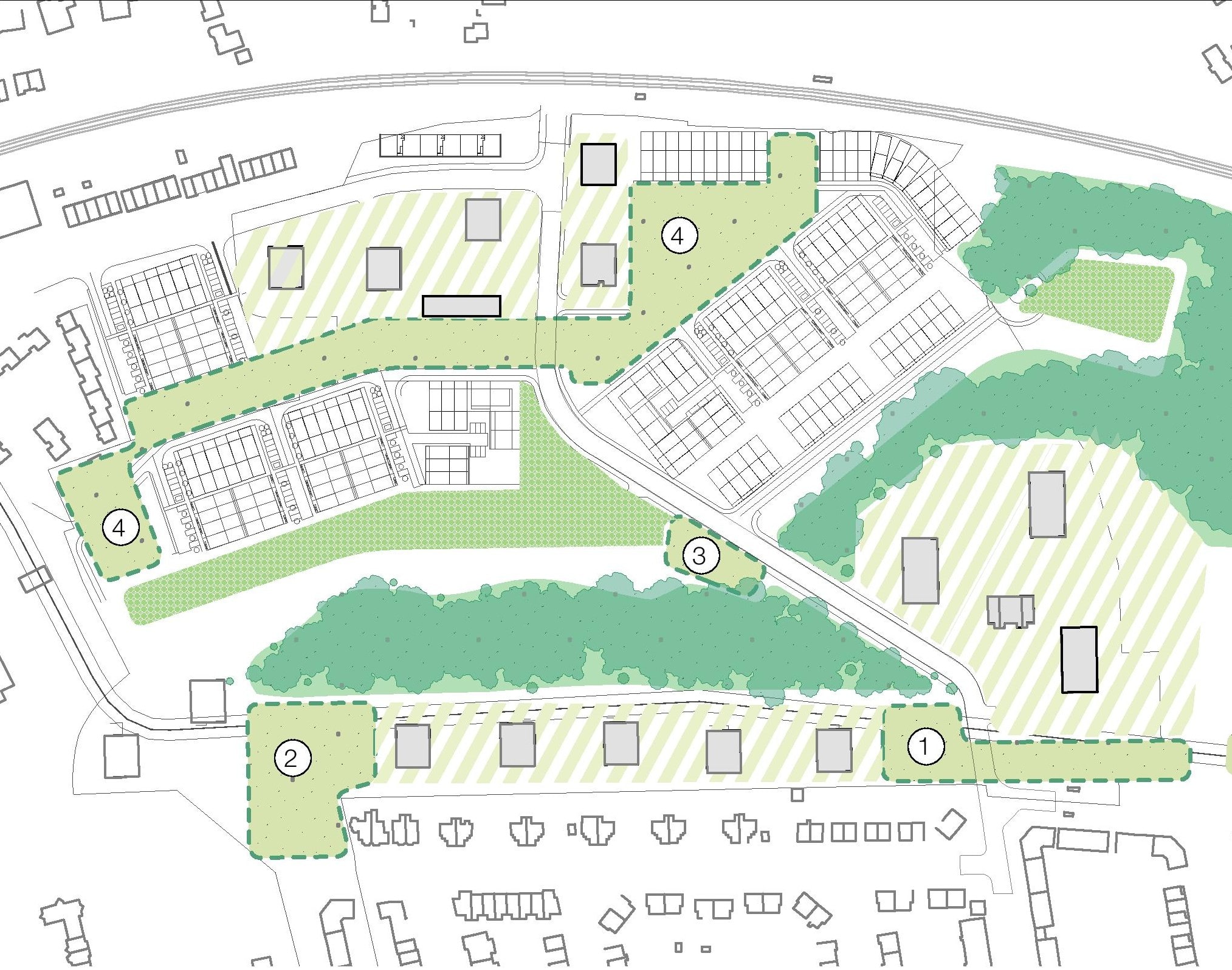
Green space and habitat links
DRAG THIS AROUND OR RESIZE IT TO HELP YOU SEE

Site

Water

Biodiversity Link

Habitat Corridor/Green Networks

Public Greenspace

Residential Greenspace

Active Greenspace

Cemetery

Golf Course
The site is surrounded by a number of areas where nature can flourish. There is an opportunity to develop this more in the Maryhill North neighbourhood.